|
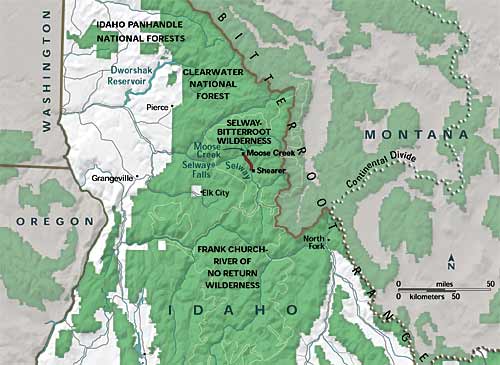
The Selway-Bitterroot Wilderness is a protected wilderness area in the states of Idaho and Montana, in the northwestern United States.
At 1.3 million acres (5,300 km²), it is one of the largest designated wilderness areas in the United States (14th overall, but third-largest outside Alaska). It spans the Bitterroot Mountain Range, on the border between Idaho and Montana. It covers parts of Bitterroot National Forest, Clearwater National Forest, Lolo National Forest, and the Nez Perce National Forest. The Frank Church-River of No Return Wilderness Area is immediately to its south, separated only by a dirt road (the Magruder Corridor). Together with adjoining unprotected public land, the two wilderness areas form a five million acre (20,000 km²) wild region. - wikipedia |
|
-Selway/Bitterroot Traverse-
January.
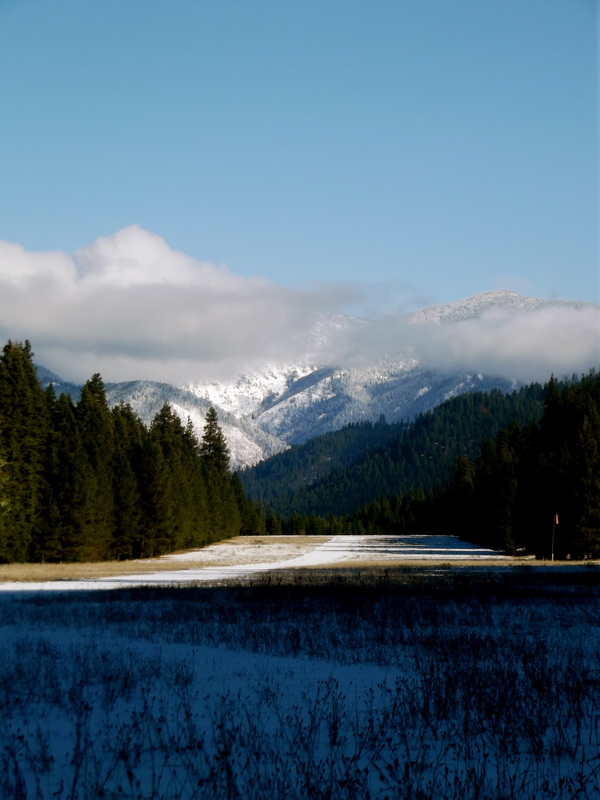
So I get an email from my buddy Eric in November telling me about this winter ski trip he was planning. "I want to ski in to the headwaters of the Selway," he says. This entailing a trip that would span over 10 days and 130 miles across pretty much the largest road-less area in the lower 48. Needless to say, I couldn't let him have all of this fun by himself, so I decided to join him. The original plan was to drive to Darby, MT to meet these dudes with super jacked up Toyota's. Then we were to drive 30mi up and over Horsecreek pass to Gattin Ranch. From there we would then ski up and over Parker Mt. to drop into the Selway headwaters. Once we reached Moose Creek we would ski up into Big Sands drainage, and then finally out to Lochsa Lodge. Our backup plan was to just take the Selway all the way out. After a month or so of planning, it was time to pack up and get the show on the road!! |
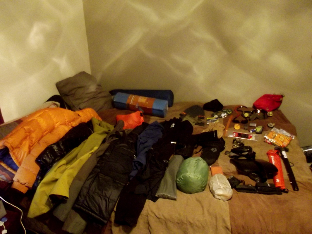
10days of winter gear
|
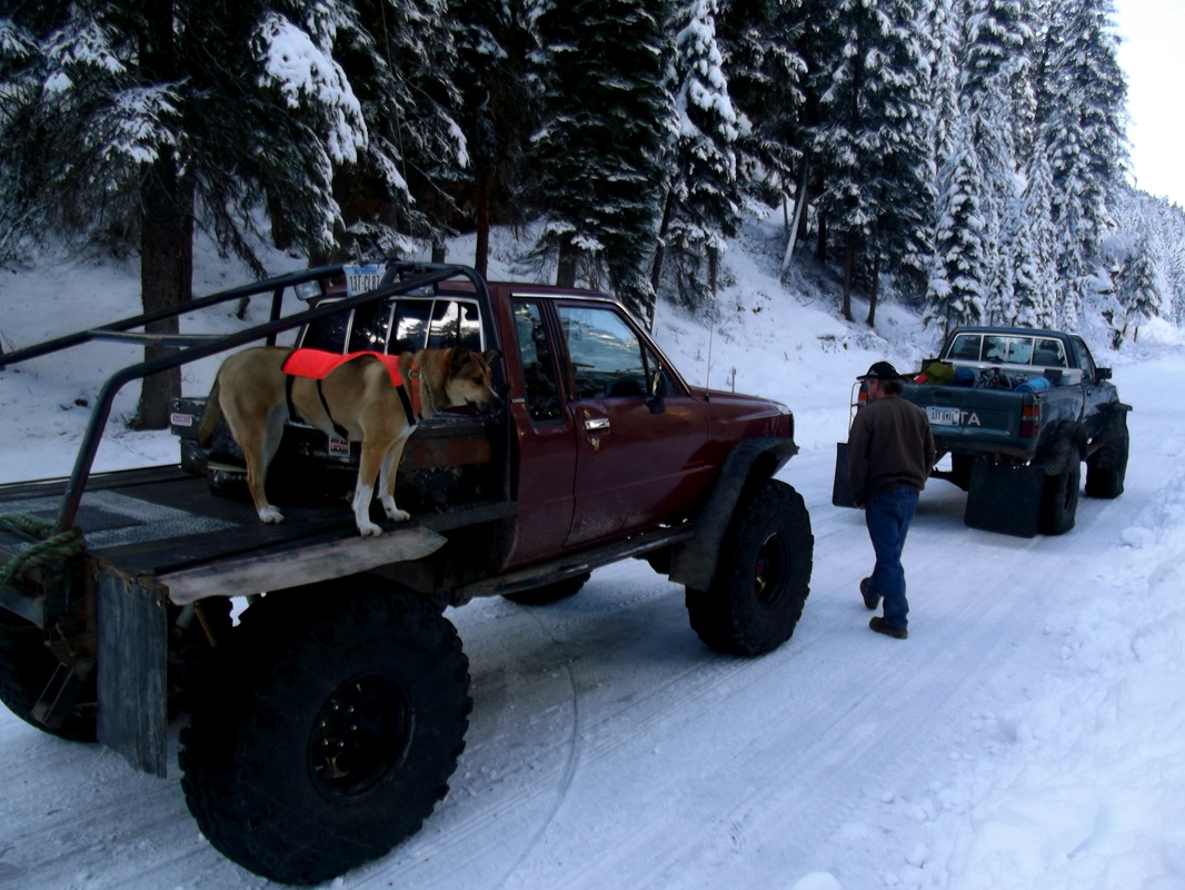
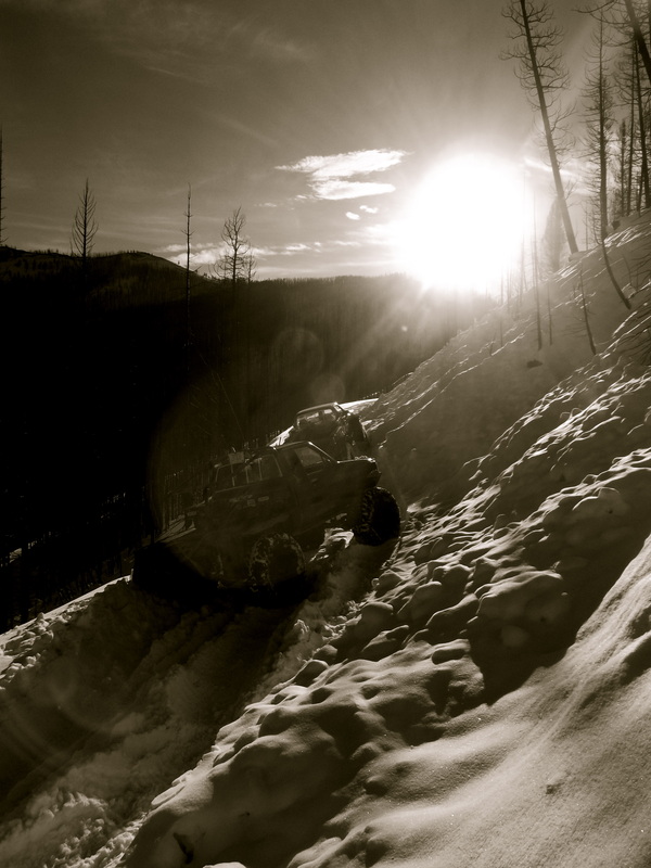
These yota's were LEGIT. Dual transfer cases!
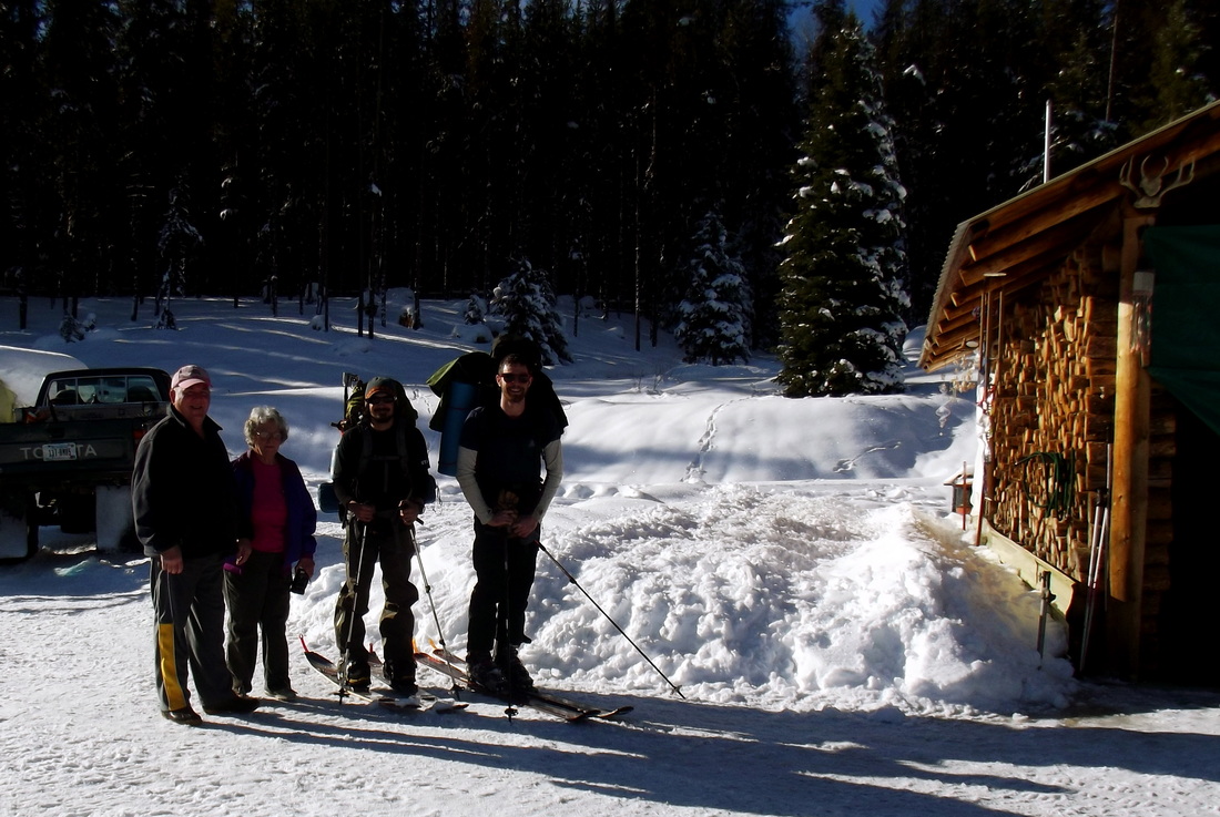
I hope I'm as awesome as this couple when I get old!!
Camp 1
|
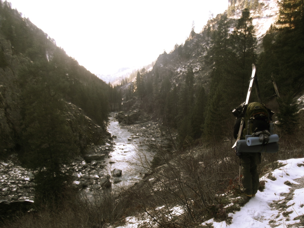
-Day 1-
Got off work at 3pm, grabbed all the gear, and left Dillon in route to Darby, MT. We drove straight through that night and ended up in Darby at about 4AM. Eric had already arranged a shuttle pick-up to have our car at Lochsa Lodge, so beyond that we met up with the trucks and we were off. We drove over 30mi to the other side of Horseshoe pass on the forest service road with a couple feet of fresh snow (which these trucks had no problem with) to Gattin Ranch. The ranch owners, an awesome elderly couple living off the grid were intrigued by our trip, and showed us some great hospitality and fed us with a beer, a grilled cheese and some soup. So we then said our thanks and goodbyes, and we were off toward Parker Mountain. Being already afternoon, we set camp somewhere near the base of Parker after about 4miles and roughly 1500ft elevation gain.
BEAST mode
|
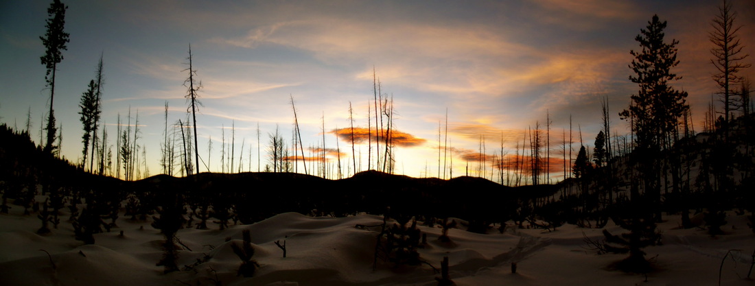
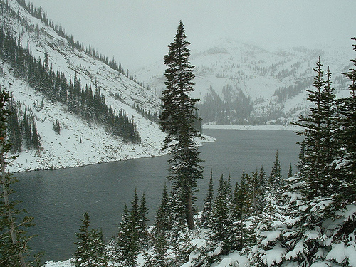
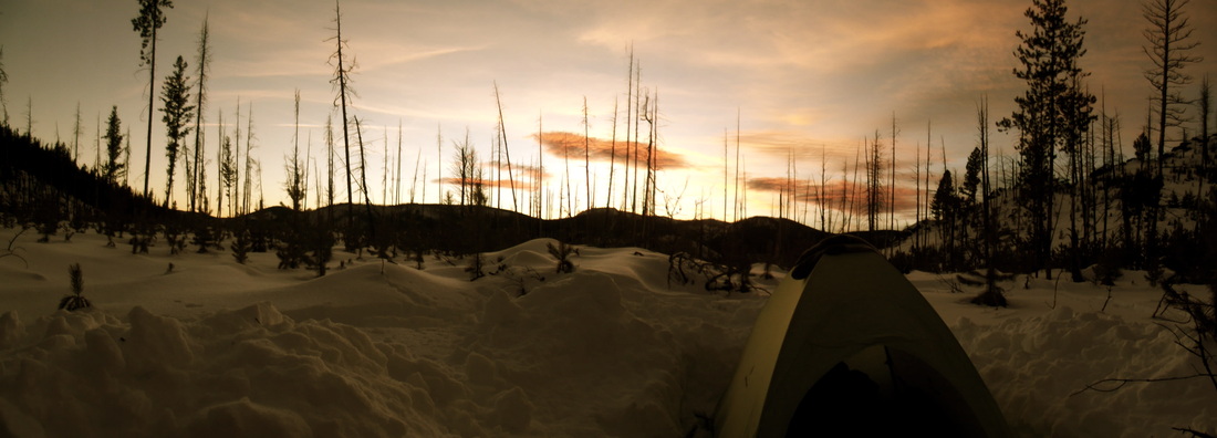
Beautiful sunset
- Day 2 -
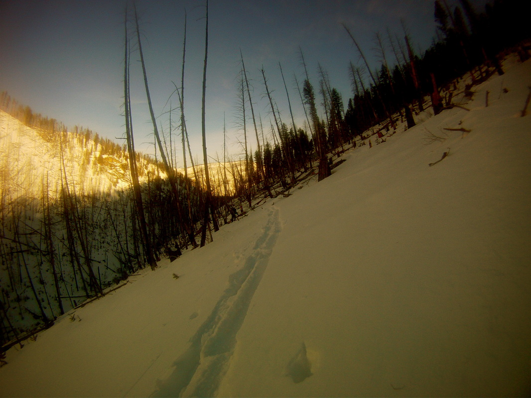
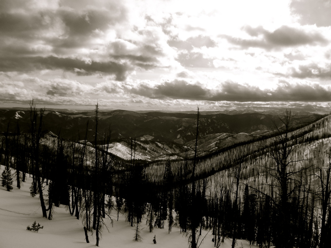
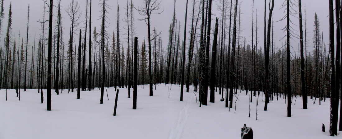
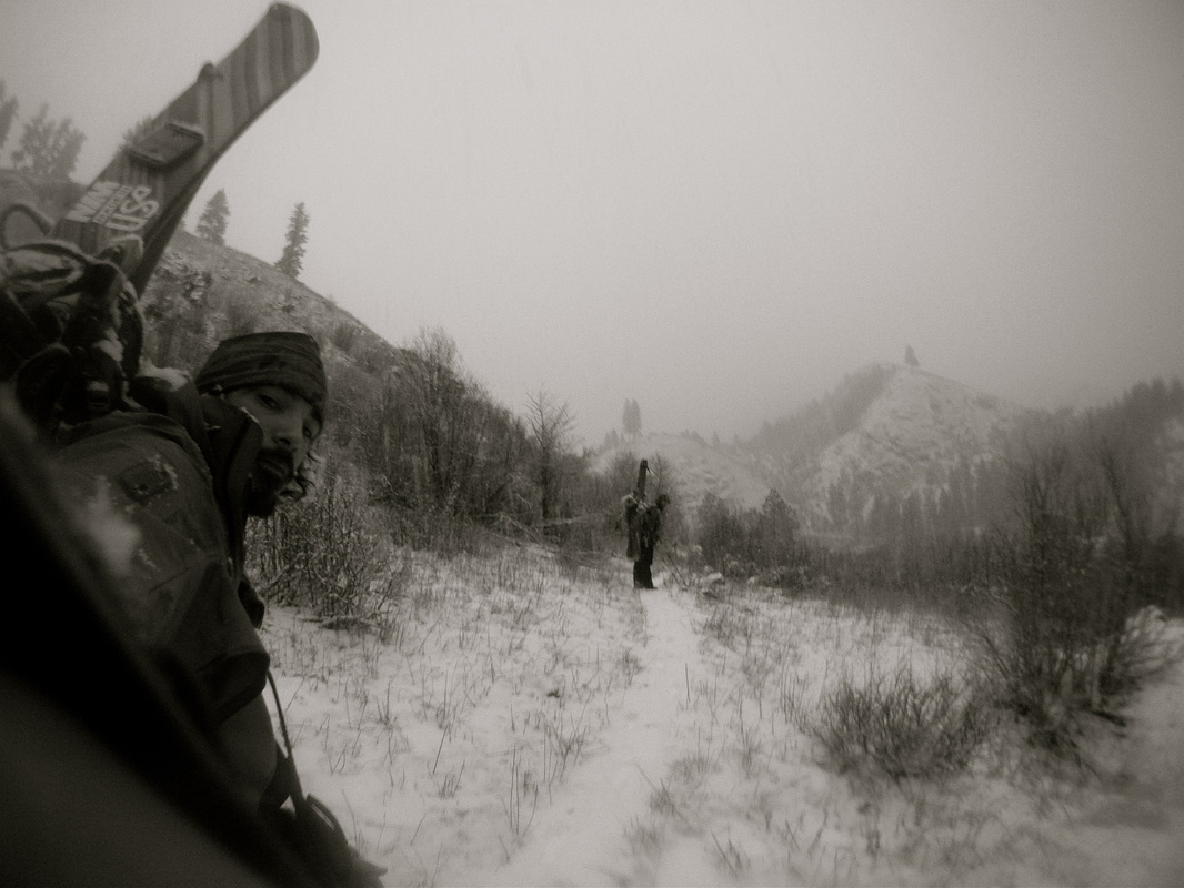
LESSON of the trip, bring the correct maps!!! Plan was to summit Parker Mountain, and drop into the NW drainage into the headwaters. So what should have been fairly straightforward navigation, didn't quite end up that way. Because of the amount of terrain we were going to be covering, and not wanting to carry multiple topo maps, Eric found one map for the whole region. This map was more or less a huge watershed map, showing drainages of the area. At first skeptical, I then figured that our only real navigation was to drop into the headwaters, because from then on forward it would pretty much just be "head down river". Well it turns out that as we were on our way up Parker, a storm rolled in, warranting nearly white-out conditions once we hit the ridge. Upon reaching what we thought was the summit, we ate some food and dropped into what we believed to be our drainage down to the headwaters. Let it be known that if we had accidentally dropped into the wrong drainage, we had the potential to be in the Salmon River drainage which would have not been good. So after a few hundred yards and the skies starting to clear, we felt that we had indeed accidentally dropped into the Salmon. It was at this point that we decided to head up and over the drainage to our east, just to make sure. Once we hit the ridge, I clipped my snowboard together and began the descent. If you have never tried snowboarding with a 60+ lb. pack on, through trees, I encourage you to try. It is not the easiest feat in the world. So by the time we hit the bottom of the drainage it was time to set camp after roughly 11miles and 2700ft of elevation. Were we lost already? Naw.

Morning day 3
I know where we are....somewhere!
|

On the way to Parker Mountain
Who would get lost in this?
- Day 3 -
Watch goes off at 7AM and day 3 underway. If you have never done a multi day winter trip, just know that everything takes more time. From breaking up and down camp to cooking food to basic travel. So a little before 8 and its back on the split. Well, knowing that all drainages around end up in the Selway, down drainage we went. After a few hours, we realize that we had more than likely not dropped into the drainage we wanted but nearing the bottom Eric noticed a sawed off tree trunk. This is a usual indication of some sort of trail, so with a bit of reassurance, we continued on down. After a while of following animal tracks we came to a junction with a small wooden signpost, which meant that we were on some sort of a trail system. After comparing this to our map, we were able to locate where we actually were! A bit of a relief, but just to find out that we had indeed originally dropped off of Parker correctly, and had in turn ended up a bit off course to the east when we backtracked. This wasn't too much of a concern, it mainly meant that we were going to be set back a day or two and decided that once we hit the Selway, we would just follow our backup plan and take the Selway all the way out. At least now we were on a "trail" and after about 6 miles and 2500ft elevation for the day we decided to set up camp for night 3 a little earlier than usual and had a relaxing night with our first fire.
|
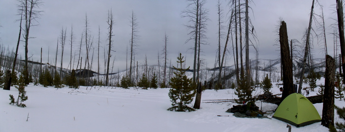
Camp 3
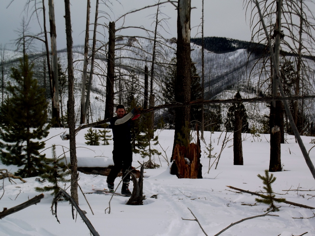
Eric doing work
- Day 4 -
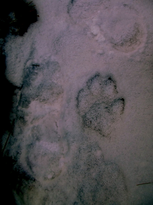
Y'all seen any wolves??? This area in the lower 48 is an area where the grey wolves have been reintroduced. Well it was wolf season in Idaho and the few people we encountered in the days to come were those hunting wolves. Although we saw wolf tracks everyday from this day on forward, we never did catch a glimpse of these amazing animals. Along with wolves, mountain lions are as well plentiful in this area. But again, all we caught were fresh tracks. Today we covered about 14 miles of travel with about 4000ft elevation with most of it lost. About 1/3 of our miles were cross country until we hit an old summer forest service road. We knew this would eventually bring us all the way down to the Selway. We found a good zone to ride, but unfortunately we hadn't the time. Guess I'll have to wait until next time...
|
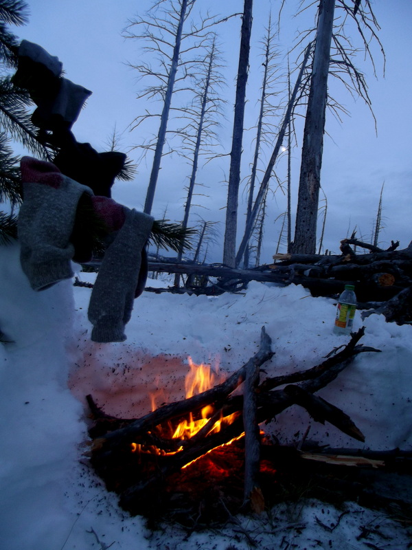
Dry socks, boosted moral. Oh how I love campfires
|
Can you see Eric?

Oh how I wanted to session this zone
grey wolf
winter camping at its finest
|
- Day 5 -
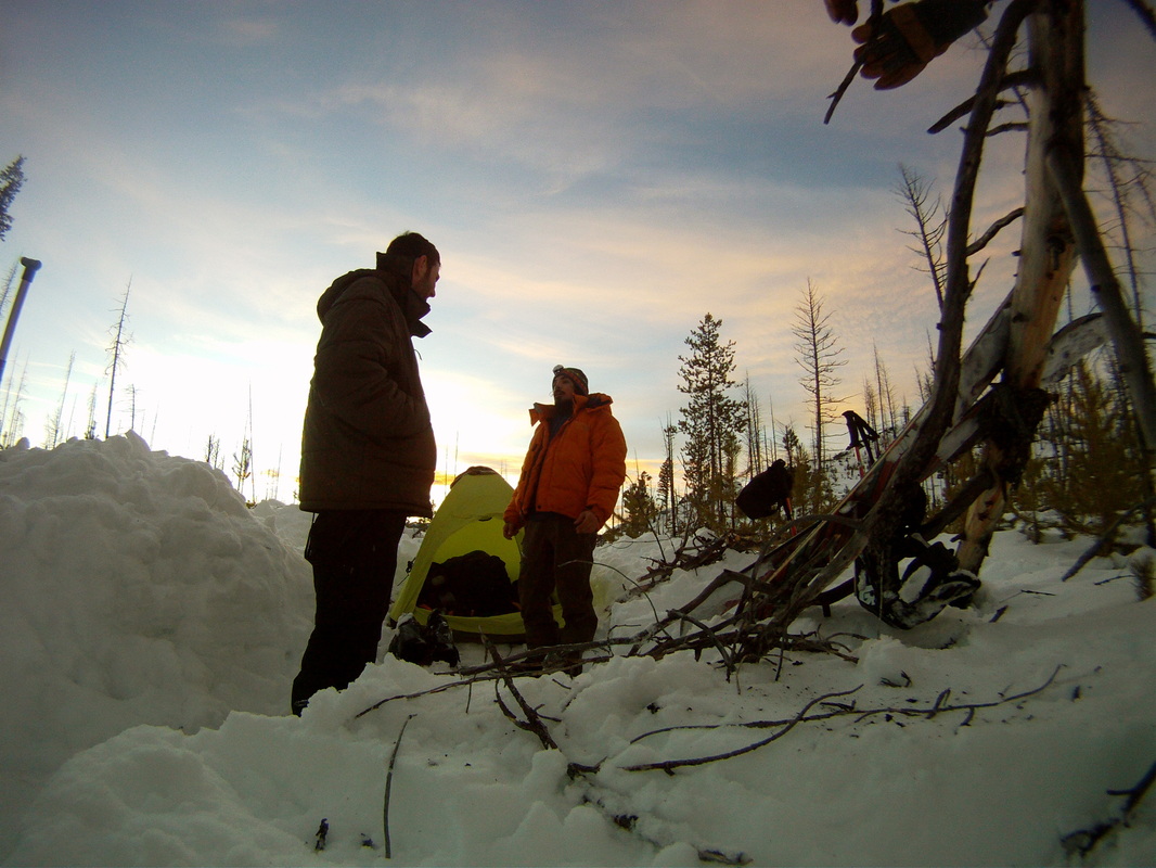
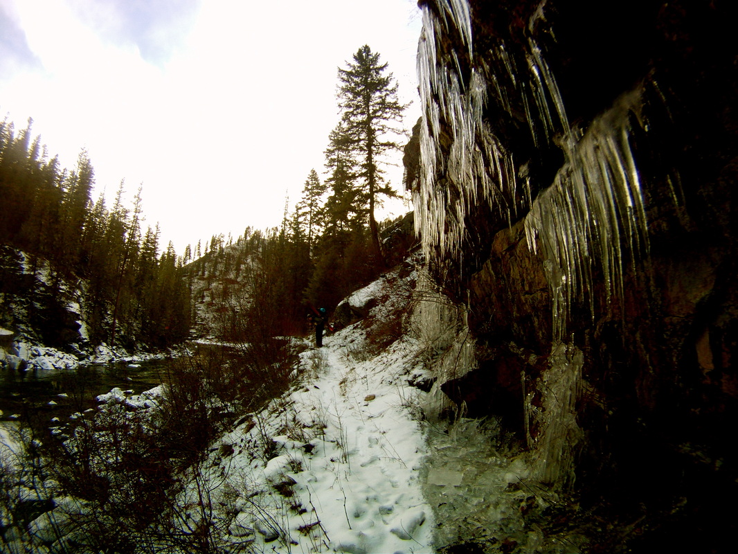
Today was a brutal day! In order to cut off mileage, we decided to cut off of our road and onto a trail that would intersect us closer to the Selway. All in all, we covered about 15 miles with about 3500 ft of elevation. It doesn't sound too taxing, but with us getting lower and lower in elevation and with it being a low snow year our travel wasn't the easiest of tasks. We were off an on "trail" and with the low amounts of snow meant that the snowpack was shallow and full of facets. This led to punching to the ground and with dead and downed trees everywhere, was very dangerous. A broken or even twisted ankle in this area would be bad news. Eventually we made our way down and had finally hit the Selway River at Macgruder Ranger Station. This was some 15-20 miles or so down river from our intended plan. After about 5 miles of road we set camp.

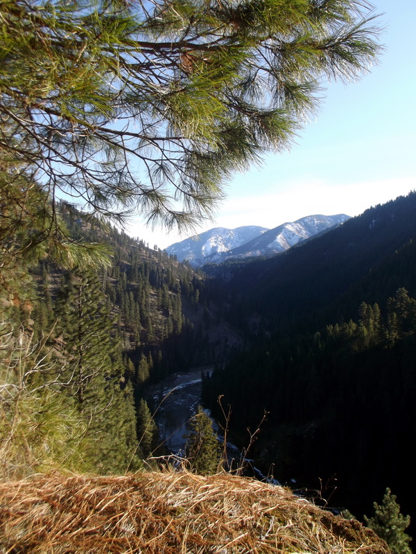
The Selway River
|

This doesn't look bad, but in reality was some of the most brutal travel especially with a heavy pack and a splitboard
- Day 6 -
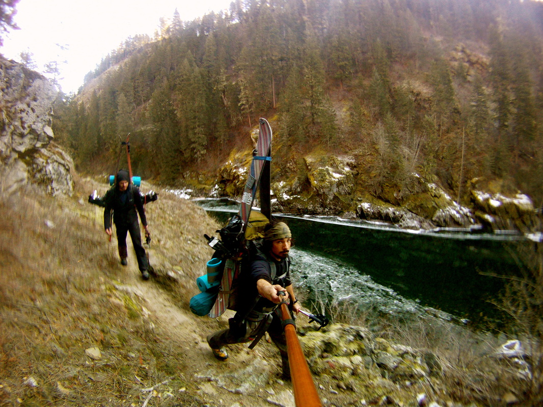
We had about 20 miles of travel on Magruder Road once we hit the Selway between yesterday and today. This road was only frequented by hunters this time of year, but it had seen enough traffic this season that it was a hard packed and icy road for the most part. This for me was a test of my touring skills to splitboard up and down a icy snowpacked forest road with a 60lb+ pack on and my skins off. Especially with a completely reverse camber splitboard! Lets just say that I got used to eating shit! Once we hit Paradise launch, it was back onto trail from here on out, and since again we were going down in elevation we were forced to dawn our skis on our pack and finish the rest of our journey on foot. Paradise launch is the put-in for rafting the Selway and from here it was 47 miles of trail to Selway Falls, the take-out. The Selway is a class 4 wild and scenic river in which only launches one boat party per day! A beautiful stretch of whitewater to say the least. See Here. http://www.americanwhitewater.org/content/River/detail/id/623.
Eric had done a high water solo trip down the Selway the previous summer, and in doing so met one of the caretakers of a hunting outpost. After about 6 miles of trail we came upon this outpost and started to camp across river from it. After about 20 min of starting to set camp, Dick, the caretaker came hiking up and offered us one of his cabins for the night. This was great, our first human contact in 5 days! Dick was a great guy who was an ex wildlife ranger and hunter extrordinair. So while Dick went and checked his wolf bait (old horse), we unloaded our gear in our cabin and then Dick wrestled us up some grub. We sat out the rest of the night while drinking wine and listening to a bunch of Dicks amazing stories. 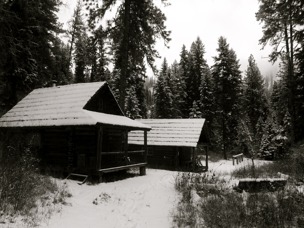
hunter cabins
|

big trees
|
freshies
|
- Day 7 -
We woke up this morning to snow falling with a couple inches of fresh. Unfortunately, not enough to be able to ski. So after saying our thanks and goodbye to Dick, we were off. Being able to stay in the cabin last night was a blessing. We were able to dry all of our gear which in turn made this next 4 days much more pleasurable. We put in another long day today covering about 17 miles. This is some beautiful country!!
|
only way in is to hike or fly
- Day 8 -
Another long and beautiful day of hiking down the Selway canyon. We saw alot of wolf and lion tracks today. Funny that as our packs started to get lighter as we ate more food, then we had to throw our skis on just to keep the weight back up. Hiking in my mountaineering boots was starting to take its toll as well, as multipule times throughout the day we would pull over and baby powder the feet the keep the trench foot down. After about 8 hours and 15 miles we set up for camp night number 8. We also had our second fire of the trip tonight, which as always was excellent!
|
its January?
|
maybe we should have brought our boats instead of skis?
|
- Day 9 -
Today was another big day. After about 25 miles of trail we had finally reached Selway Falls and the end of the trail. Were we finished? Nope. Being that we had originally planned on a different route ending up at Lochsa Lodge, our truck was now still over 80 miles away. Our plan was to hike the 20 mile paved road to hwy 12, and try to hitch a ride the 65 miles up to Lochsa Lodge. So we set camp at the trailhead and planned on a loong slog for tomorrow. All we could think of is what kind of beer we wanted to get once we got to the lodge. Moose Drool, of course.

pristine mountain fresh drinking water
|
- Day 10 -
And off we were on the 20mile long slog on paved road. About 5 miles or so from hwy 12 we actually ended up catching a ride. Unfortunately, the ranger was going the opposite direction on hwy 12 but at least it was 5 miles we didnt have to hike so we took what we could. This led us to about 2pm which we were stoked about because we both thought that it wouldnt be hard to hitch a ride on a major road. Well, fate be had we sat at that intersection for over 4 hours with cars just passing us by. I know we were just in the field for 10 days, but c'mon people!! The darker and darker it got and just as we were planning on camping on the side of the road for the night, karma had returned. The area where we were at had a "summer only" inn across the street. Well turns out that a kind soul who was the owner of this inn had been watching us the whole afternoon from there house up on the hill. She felt bad for us and ended up unlocking one of the rooms for us that night. We enjoyed a nice couple of beds and running water for the night!
|
- Day 11-
We woke up the next morning in hopes to catch a ride quickly. Since we had planned on making it to the truck on day 10, I would now be missing my flight back home from Portland. So as we saw the first couple of cars blaze by us that morning we came the the decision that maybe we should make a sign. We tore out a couple pages from my journal and wrote, "Lochsa Lodge". The first car that came by picked us up! Lesson learned, always make a sign! 65 miles later and we were reunited with our truck at last. First stop, the beer store. Lochsha Lodge has a small store with a very small quantity of beer. But guess what? There were 2 single bottles of Mooses Drool!!! This was fate at its finest! So after eating one of the best breakfasts ive ever had at the Lodge, and after calling my now worried and scared shitless girlfriend to tell her that we had made it ok, off to Portland airport we went. A great end to a great trip and experience!
|
Great Trip!!
All in all, this was an excellent trip! Besides getting off track for a few days everything went very smoothly. As far as food goes, we ended up pretty much perfect, ending with only our 2 packs of "safety" oatmeal. Over the course of the 10 days we covered around 130 miles on foot with about 7000ft elevation gained and 10,000ft of loss. Most of the trip was a mix between type 1 and 2 fun. Would I do this again?? Only if next time we took a few days to get some riding in! Maybe a Bitterroot Ridgeline Traverse in the future? Either way, I am glad we had a fun and successful trip and look forward to the next....
