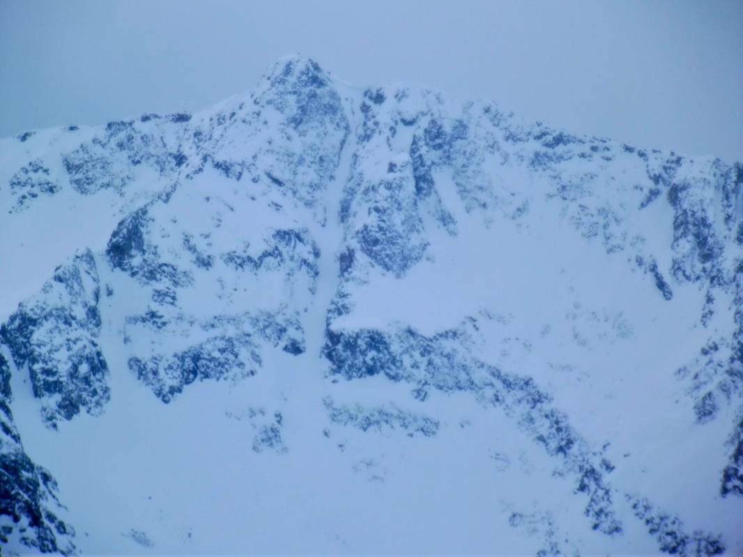
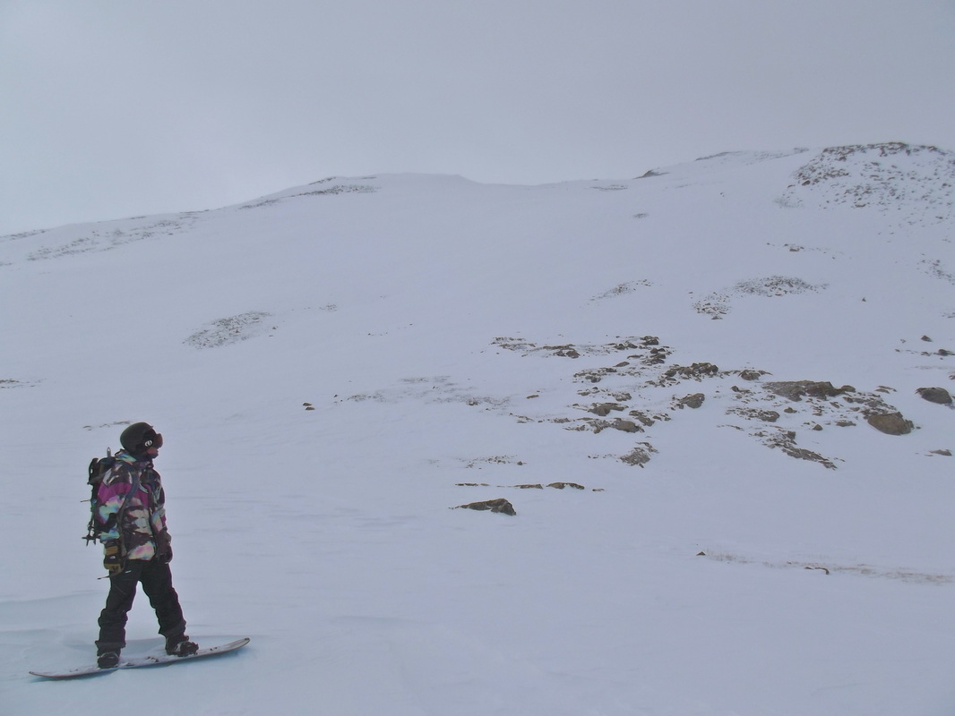
Traver Peak

13,852 ft. although officially unranked.
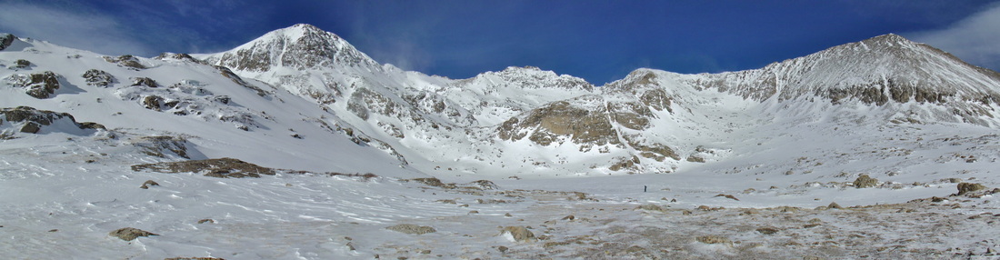
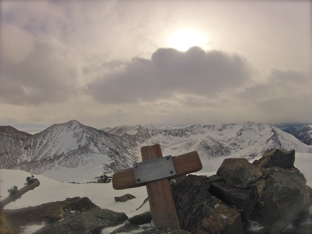
 Democrat and Buckskin in the backround
Location: Mosquito Range. South side of Hoosier Pass
Aspect: Southeast
Elevation/Length: 3000ft gain in over 9 miles. 6.5 hrs RT
TH: Montgomery Res
Group/Date: Greg Hansen/ 01.07.14
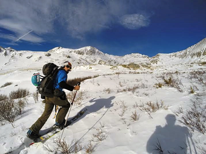
The good thing about working the graveyard shift is that it gives me a chance to poke around on the internet to check on conditions or scope new lines. In fact, a good chunk of the time I spend in the BC is after I've done a lot of research beforehand. So after seeing a picture that somebody posted that was taken off of Democrat about a week ago, I saw that the SE face of Traver peak was looking mighty fine. I personally had never skied Traver before this but from the looks of the pic and topo and after reading a few TR's on the peak it seemed that I had found the perfect destination for the day.
The snowpack across the state has been very touchy lately with a lot of new snow and a lot of wind over the past few weeks. There have been reports of slides popping off everywhere and stepping down onto deeper layers. Today marked to second fatality in Colorado within the past few weeks and so with this dangerous snowpack we wanted to especially make sure that we were making the right decisions all across the board. Luckily, the day consisted of low angle terrain and we were able to keep it under 30 degrees 99% of the tour.
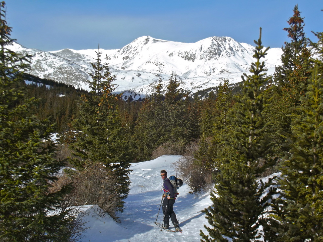
I was off of work at 7. Greg picked me up in Dillon by 8 and we were on the trail a little past 9.
Weather forecast for the day called for seasonal temps in the 20's with winds 10-20mph and some unsettled weather moving in by afternoon. While the morning started out beautiful the true Colorado weather would shine through within a few hours. By about noon we found ourselves at the base of Clinton and "Monica's Descent" when our beautiful sun and blue skies were quickly washed away by the clouds and wind. The wind would only continue throughout the rest of the day with sustained 20-30mph and gusts upwards of probably 60. We knew that with the storm coming in we would be losing light and visibility quickly so we hastily pushed on up the East ridge to the summit. By the time we summited we could see a wall of low lying clouds and snow coming our way fast so after a few summit shots we quickly transitioned, discussed our descent route, and were then on our way 2000ft to the valley floor.
Traver, McNamee, Clinton, and Wheeler just out of sight. And Greg giving his "blue steel" look for the camera.
On the way to Wheeler Lake, Democrat's North Face comes into view.
Wheeler Mountain (center), Northstar, and Wheeler Lake. The sketchiest part of the day was probably gaining the bench below Clinton from the lake only due to the fact of considerable avy danger.

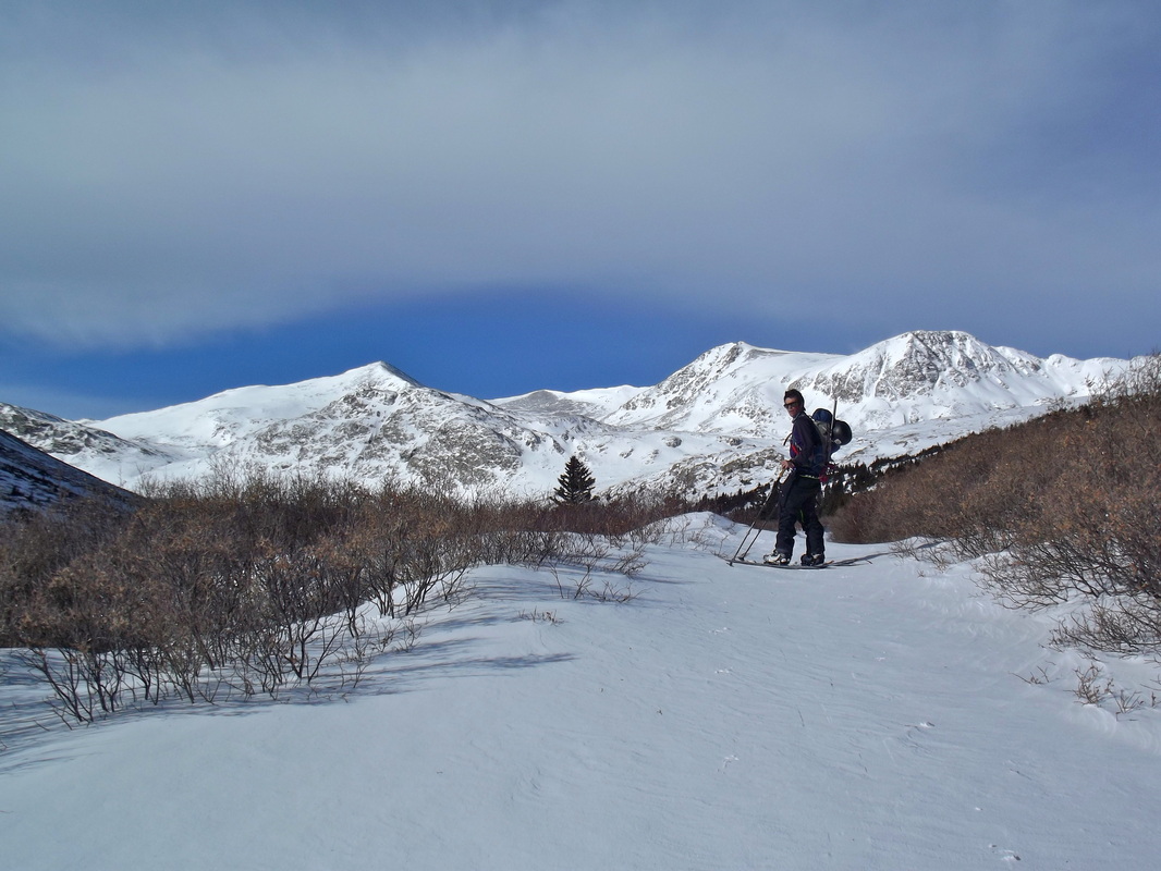
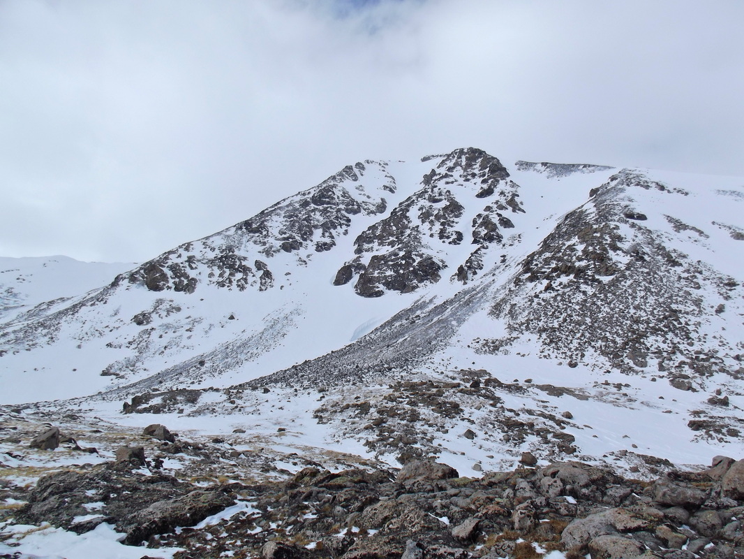
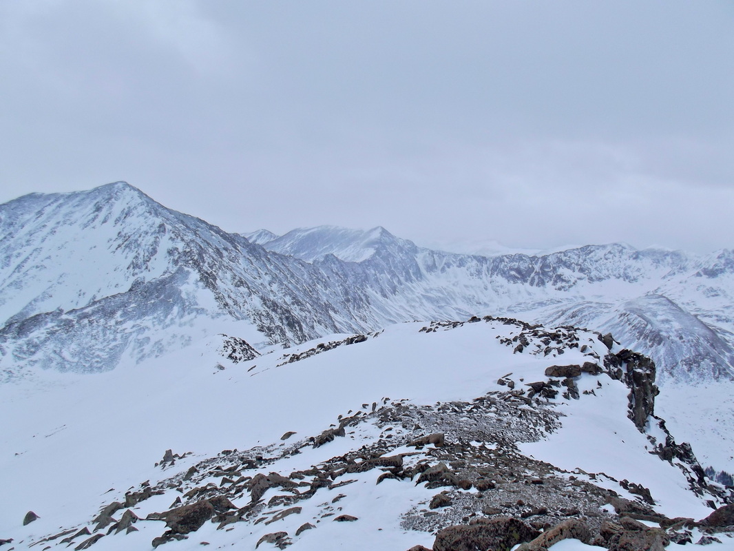
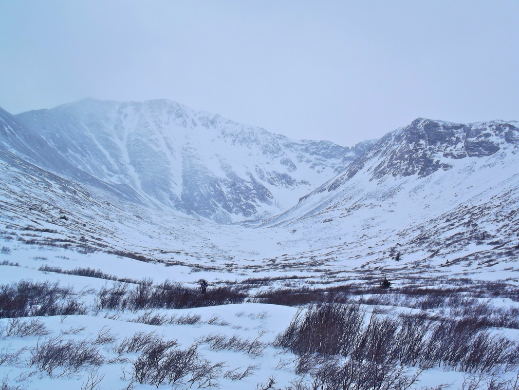
Traver and McNamee in the distance.
Monica's Descent aka Lewinsky Slot

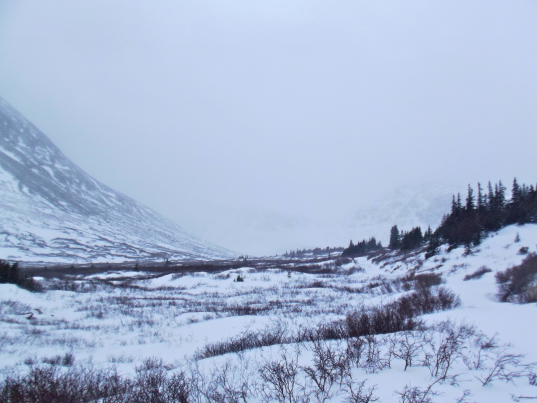
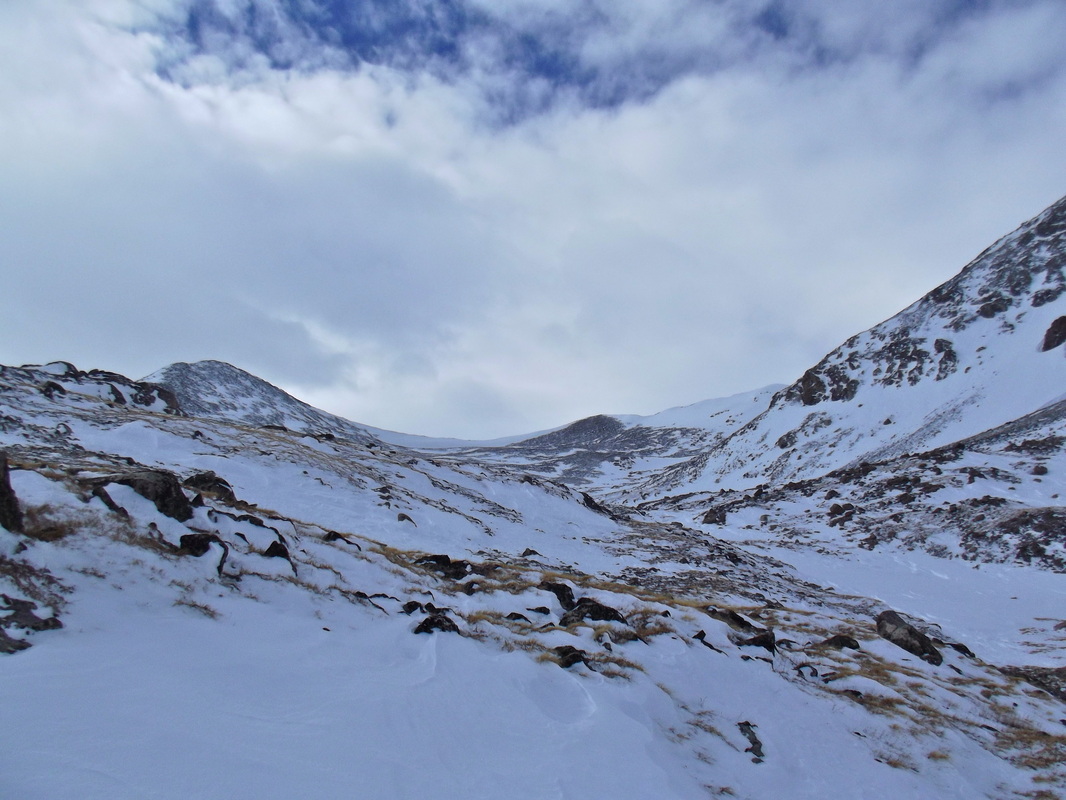
Photo taken from the approach in
|
|

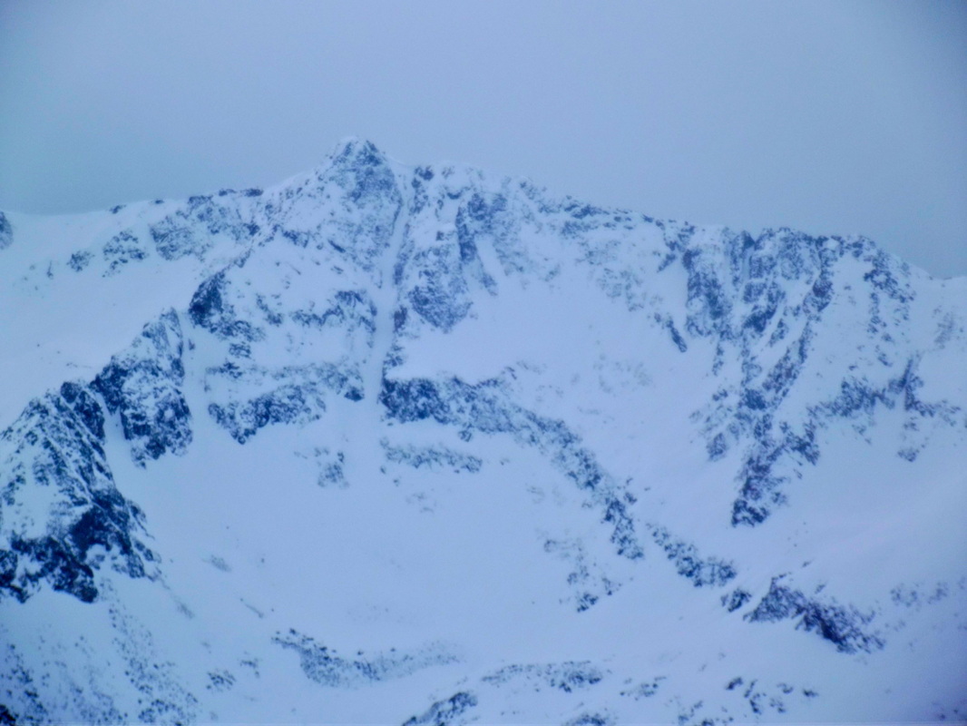
Not today, but I will be seeing you again in a few months!

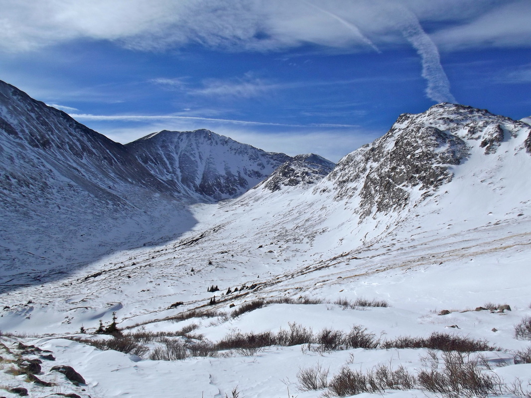
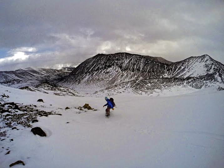
The remaining route up the ridge with the upper portion of our intended descent in sight. This would be the last blue sky we would see.
Traver Peak Summit. 13,852ft small.
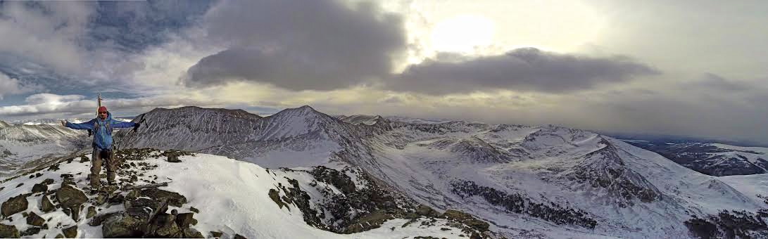
sweet summit pano, thanks Greg
Looking NE. Quandary in the middle.

about 4hrs to summit
High on the Tick List is Arkansas
|
|
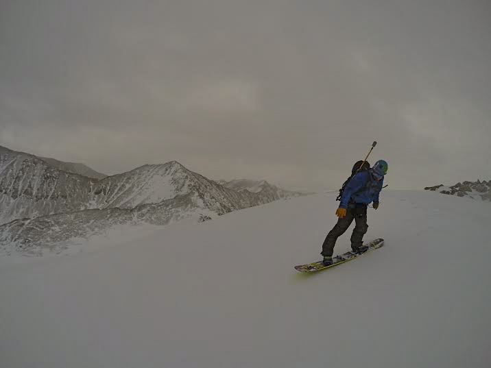
And...time to go. We didn't get very many pics from the descent as the lighting was horrible and we wanted to reach the valley floor before visibility was completely shot.
A stunning view
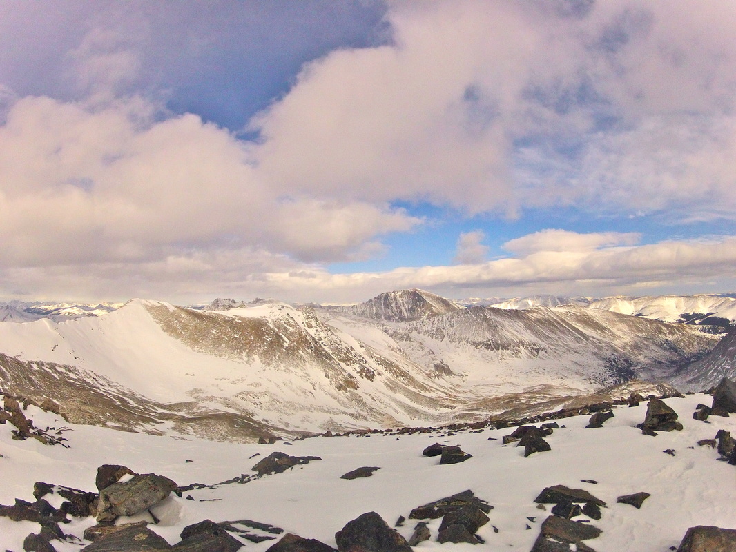
Lincoln, Cameron, Bross, and Democrat in the backround.
Greg looking back up at the upper portion of our line.
It was a nice 2000ft ride back down to the valley floor with the storm front nipping at our heels.
And Minutes later. I think we got that one in just in time or else that would have been a little more interesting of a descent.