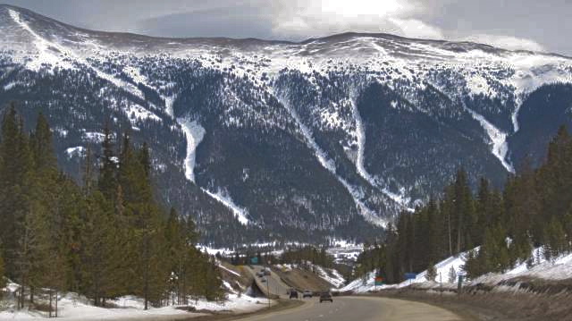
 The SKY chutes. photo courtesy backcountrycoalition.com
 Location: Ten Mile Range
Aspect: West
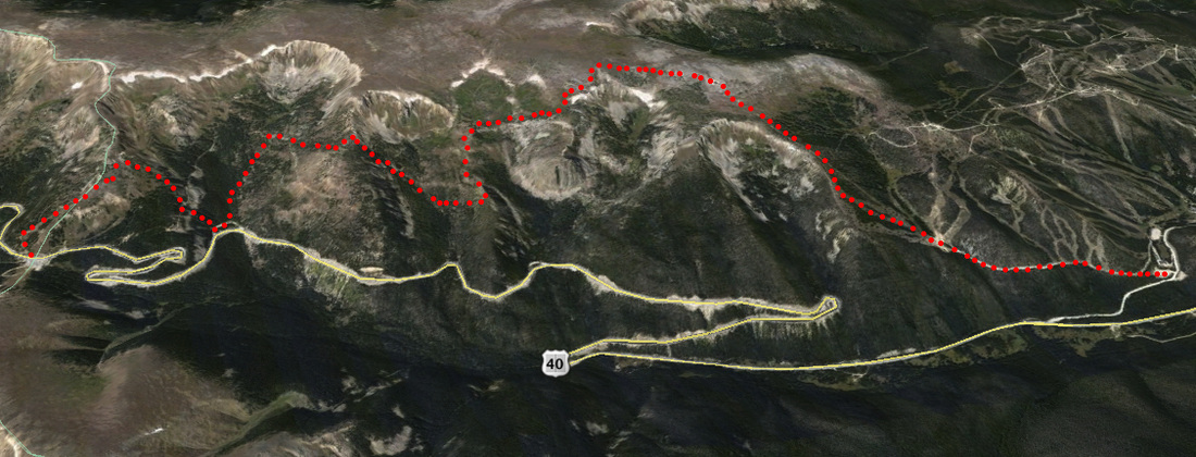
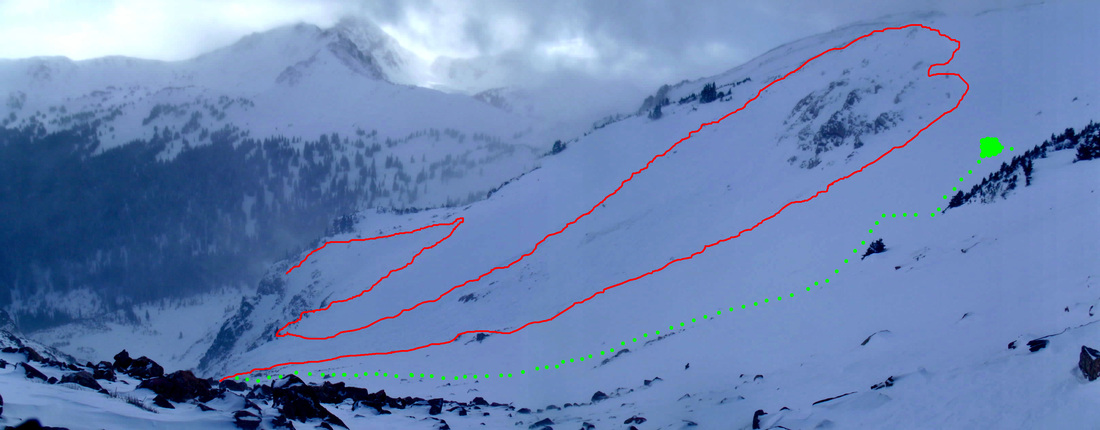
Elevation/Length: 12800ft on the ridge with 3000ft gain and about 2 mi RT.
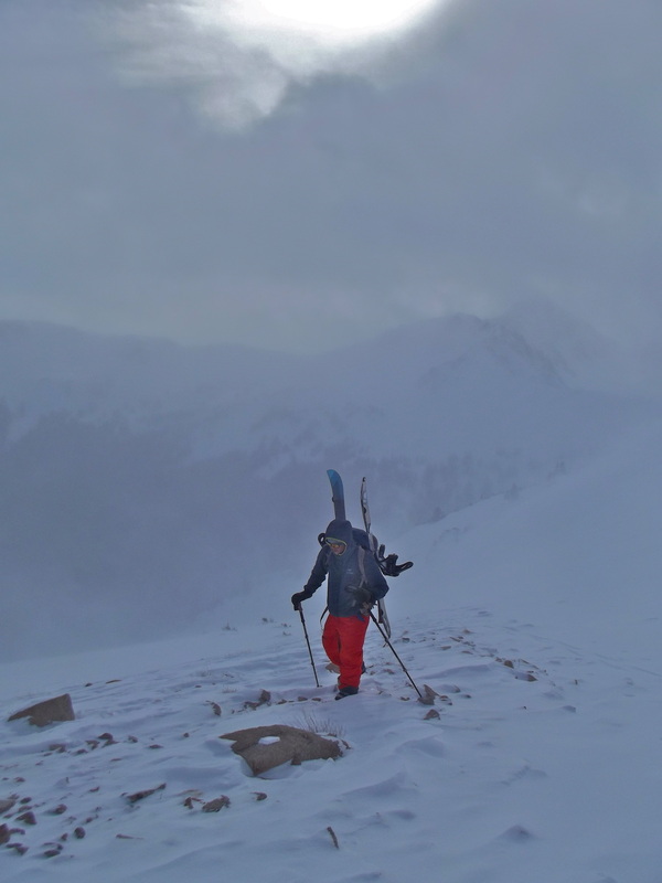
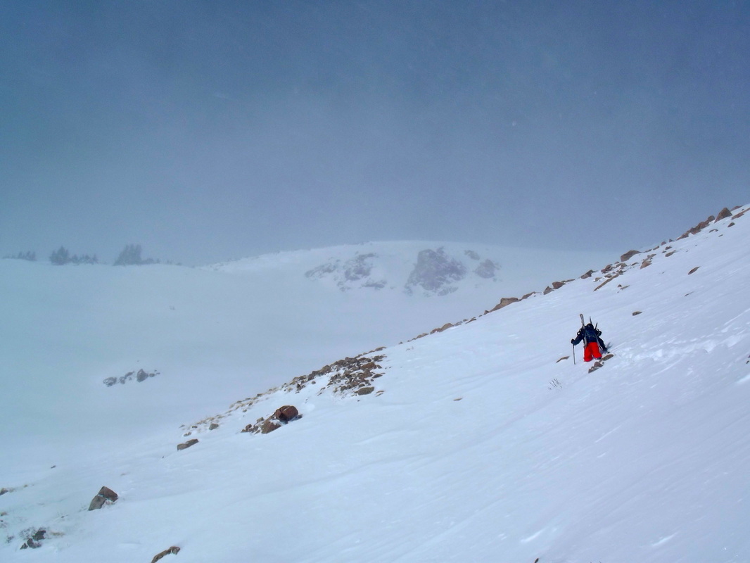
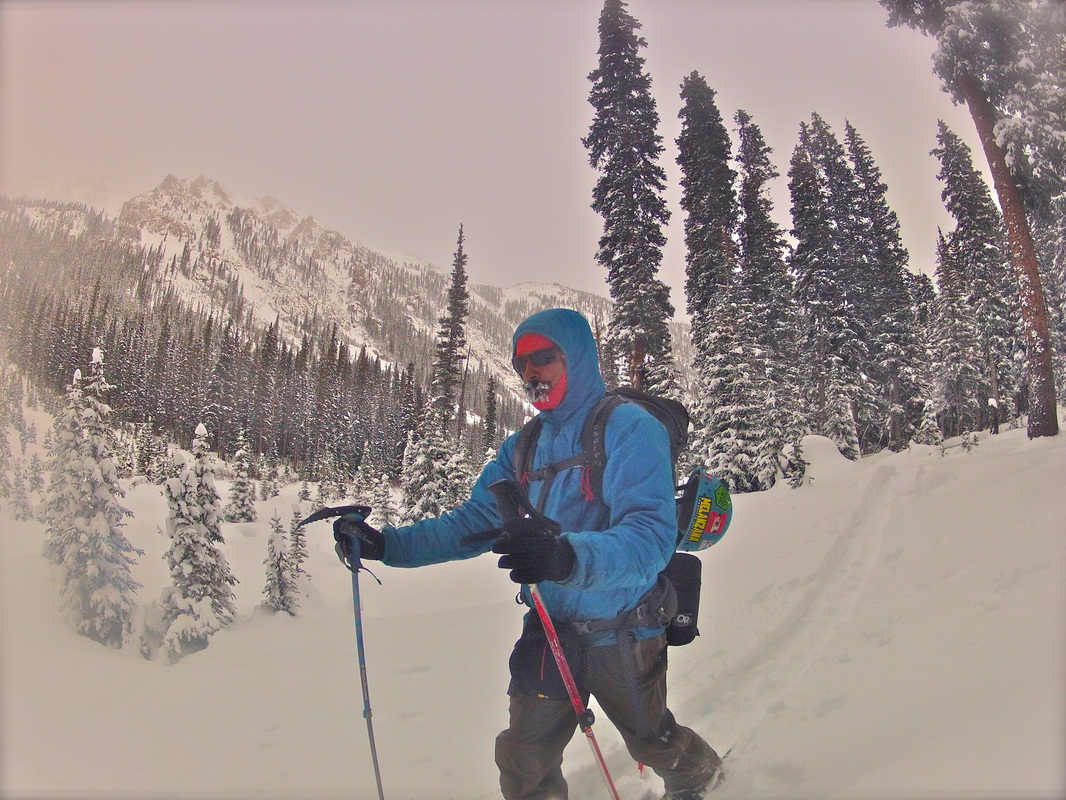
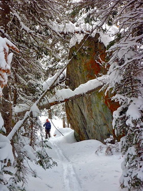
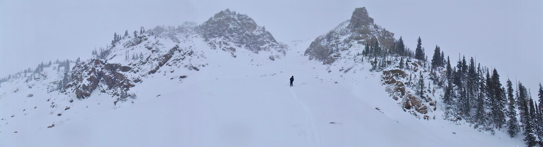
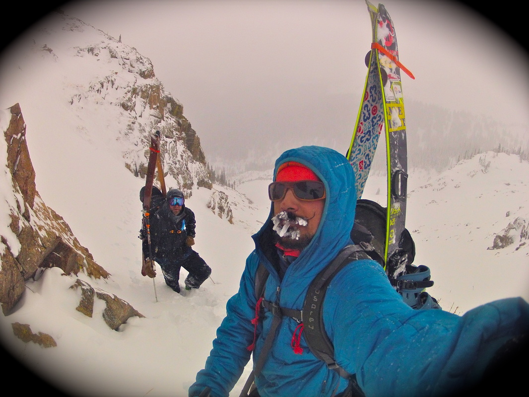
The SKY chutes. If you have ever driven I-70 heading eastbound past Copper, then you have feasted your eyes on these local gems. After all the years I have lived in the county I have never skied any of them so I was pretty stoked to have this on the agenda for the day. The backcountry has still been pretty touchy lately after all the snow and wind we just had so I figured that these nice west facing and fairly sheltered chutes could be a good call. I had heard that the S chute was pretty low angle chute (average around 28-30deg) so Erich Tucker and I set out in hopes of skiing the S chute. As we got up there it seems like we weren't the only ones with this bright idea.

The only good thing that comes from it is that there was already a skin-track set in.
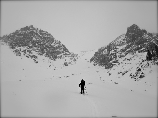
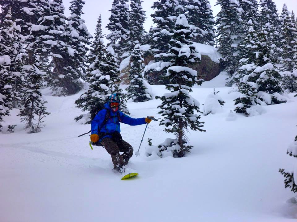
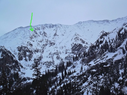
I was a little surprised to see other tracks in here but probably because I have been in the Gore a lot lately. You will rarely run into other people/tracks out there. No disappointment here as there was still plenty of fresh snow to slay. One good thing that came from it was that there was already a skin-track. Turns out that there are tracks in all the SKY chutes right now, go figure. People like to get off the resort and ski?? WTF? Once we reached the fork in the chute we opted to stay right and follow up the gladed tree area.
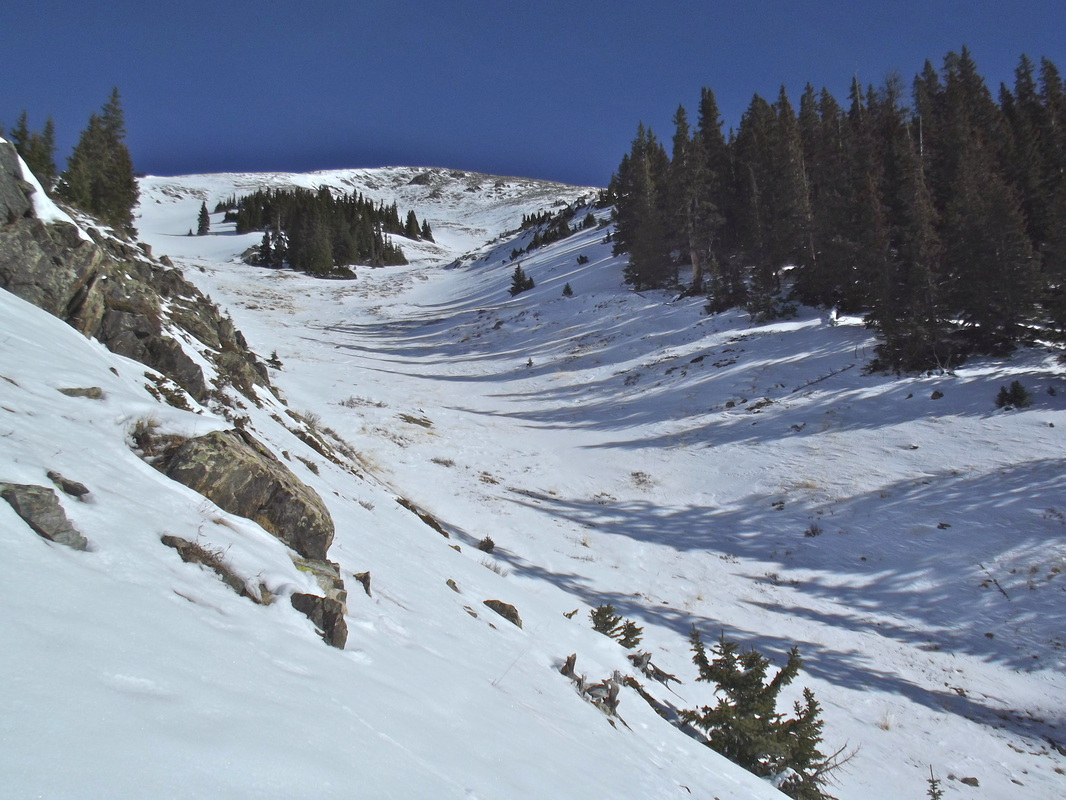
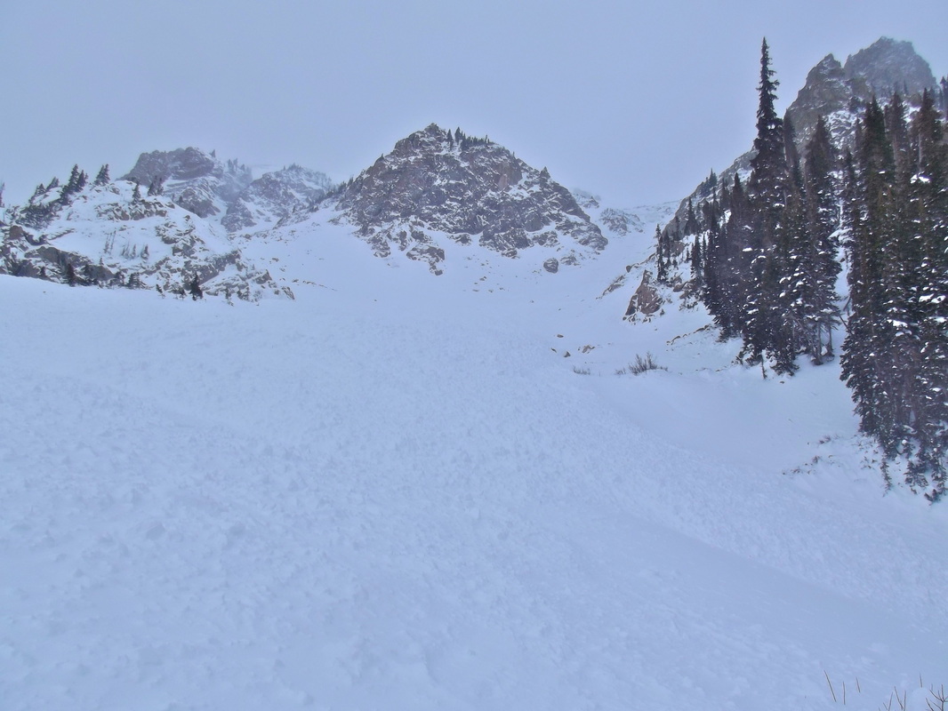
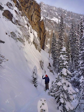
Looking up the main fork towards the summit ridge
Looking back down from the fork
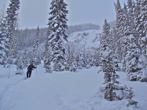
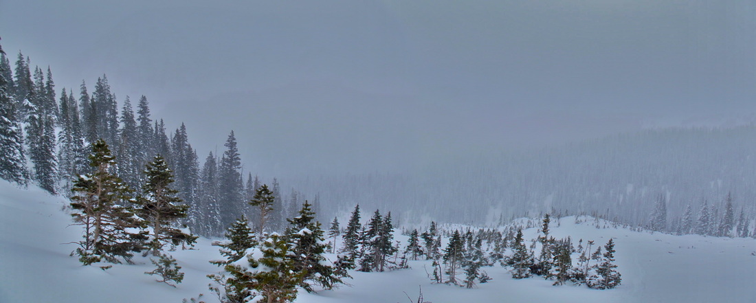
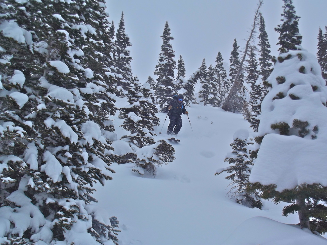
Getting higher to the gladed area
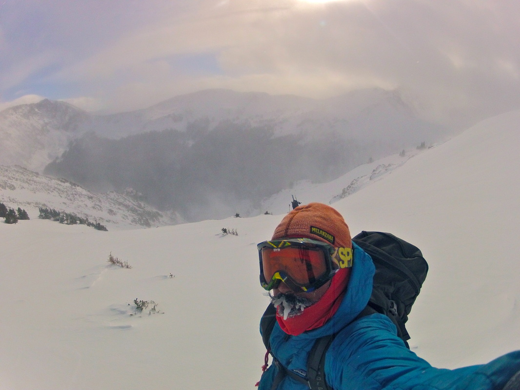
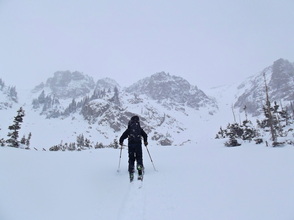
We hit the snow-line at about 12,200ft or so. Tucker opted to hang out while I pushed onward to hit the summit ridge. With it being such a beautiful day I just wanted to get as high as I could to soak in the views. So after hitting the ridge and heading up higher towards Peak 5 I hung out for a bit and took some pics.
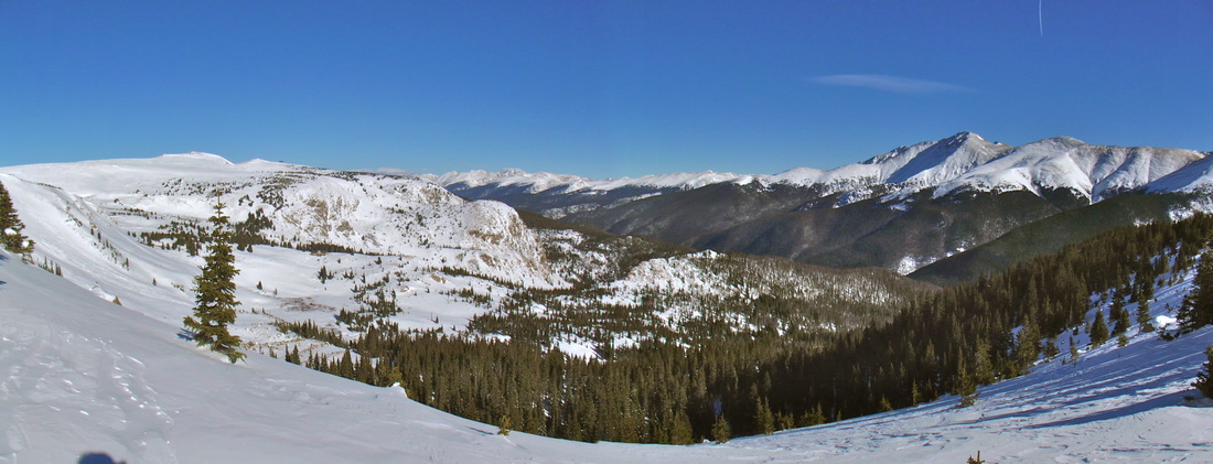
Looking North up the Tenmile with Lake Dillon and the Continental Divide in the back
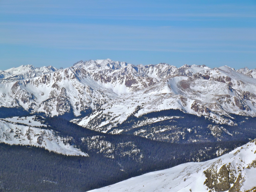
Looking West off the TenMile Range
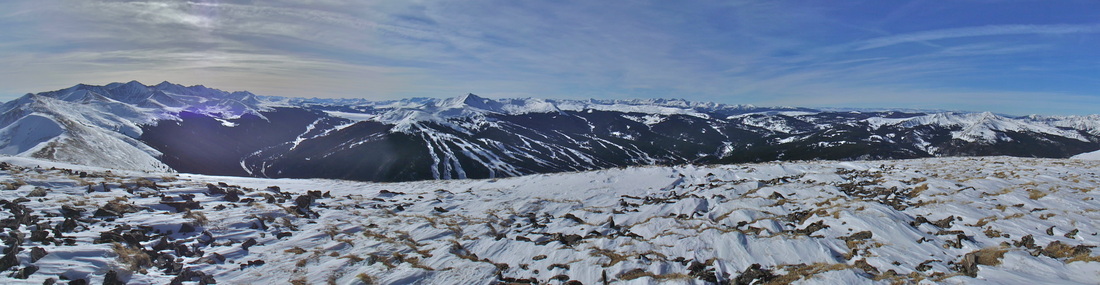
 The Gore. . . Drool... 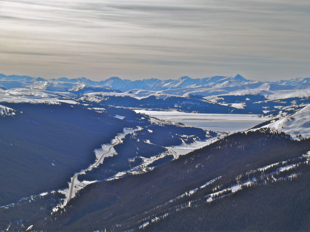 The Sawatch. |  Looking South down the TenMile. Pacific in the middle.  Holy Cross |
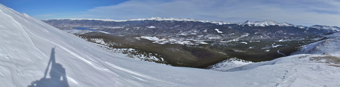
Looking East off the TenMile Range.
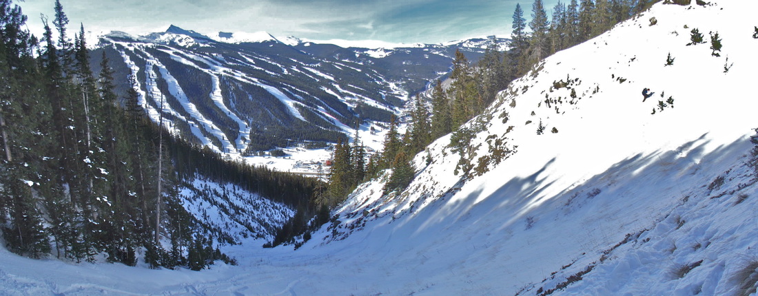
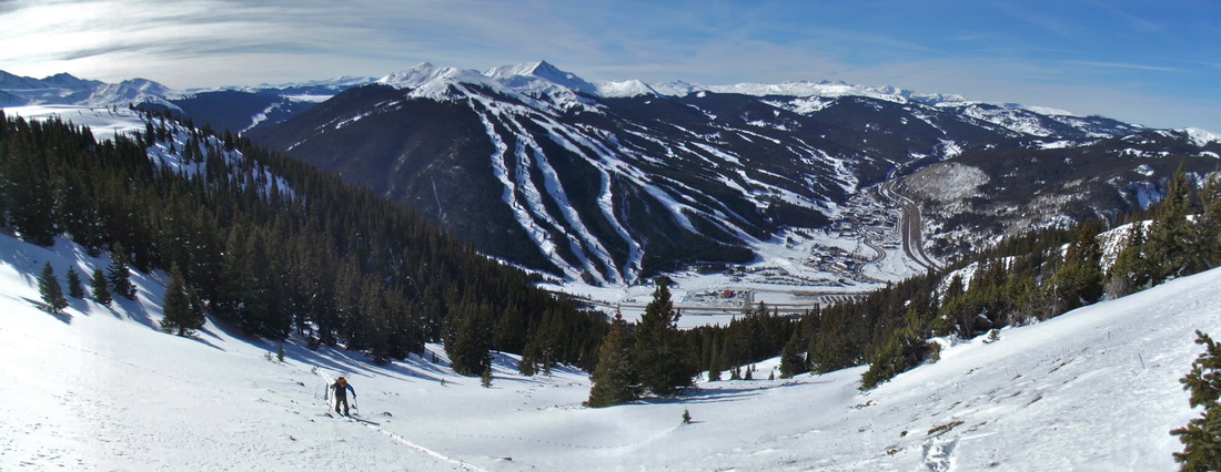
I hit the summit ridge at about 12:30 (3hrs). After about 10 minutes or so I snapped all my pics, soaked it all in, and then headed back down towards the S chute to meet Tucker and get our ski on.
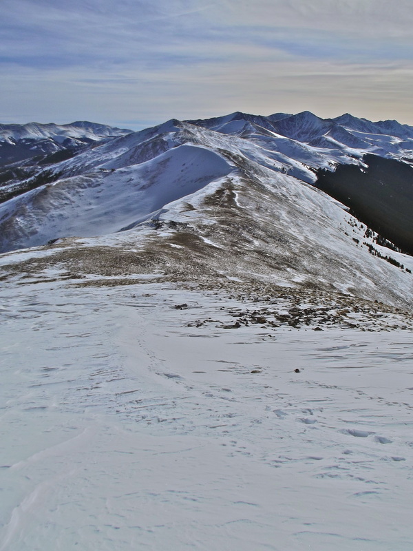
On my way back down. Looking at the Southern TenMile Range. Maybe I should have just skied down Breck today..
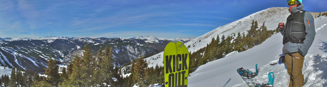
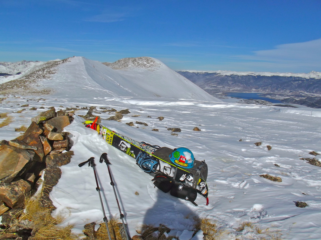
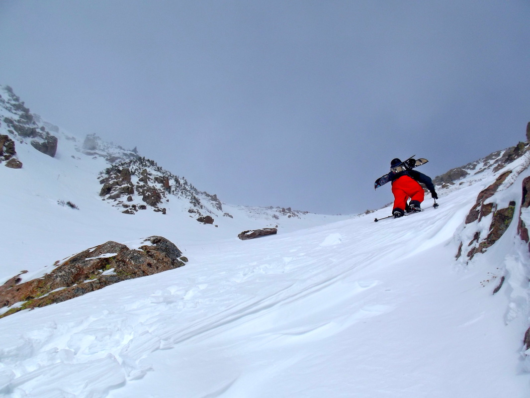
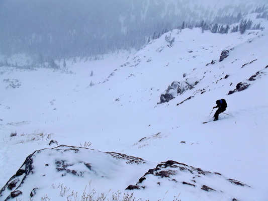
Getting ready to drop.
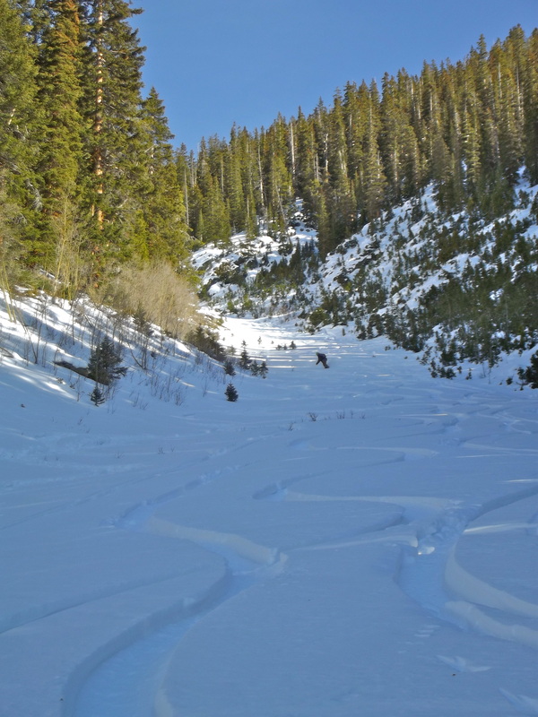
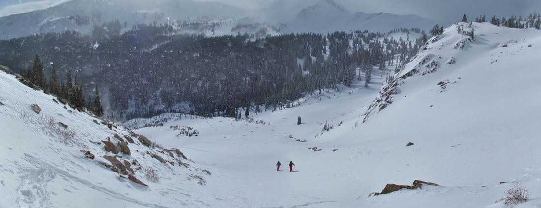
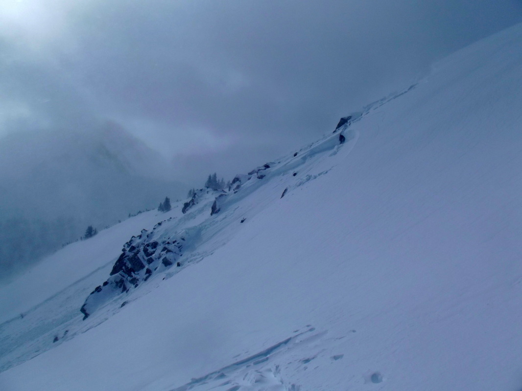
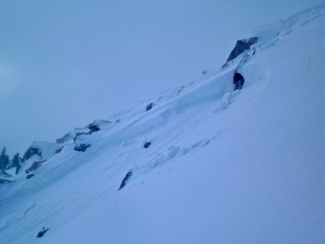
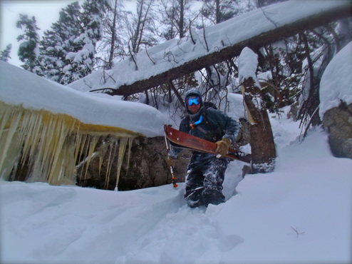
On the ride down we found some great turns! We stayed in the trees for the first couple hundred feet until we came out into the chute. The snowpack in this area was facets, sugar, and more facets with the occasional wind slab on top in an area or two. This actually made for some great skiing on the low angle terrain that we were on, all the while still making sure to be on our toes.
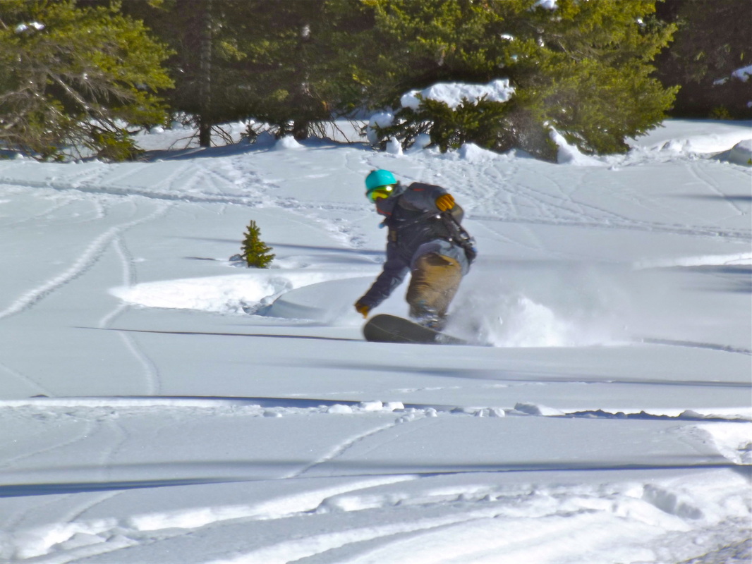
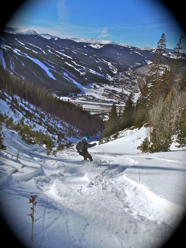
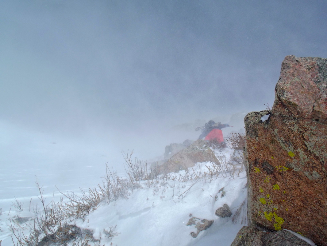
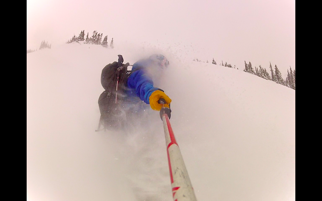
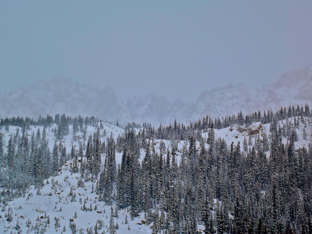
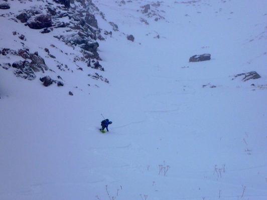
My DSLR broke so now I take blurry pics like this :)
 |  |
We ended up being able to ski a total of about 2000ft vert. The bottom few hundred feet was too shallow of snow in the trees to ski and the top few hundred feet to the summit ridge was too wind scoured. Great turns on a bluebird day! Stoked to finally ski one of the SKY chutes. Now just I just need to tick off the K and Y. ....And how about one more pic of the Gore :)

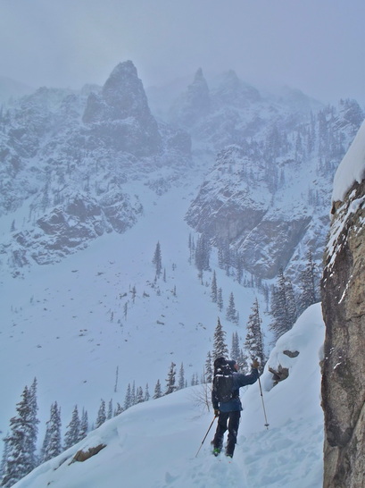
Recognize any of the peaks??


 RSS Feed
